-
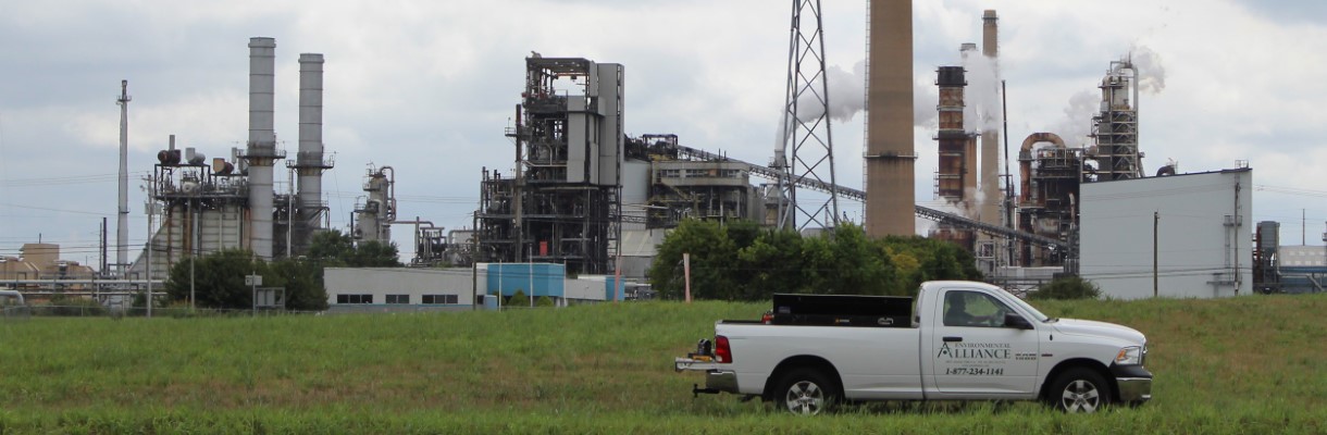 Practical and cost-effective
solutions
for environmental concerns
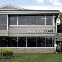
Contact Environmental Alliance
Practical and cost-effective
solutions
for environmental concerns
Contact Environmental Alliance
-
 An expertise
that spans diverse markets
Our Markets
An expertise
that spans diverse markets
Our Markets
-
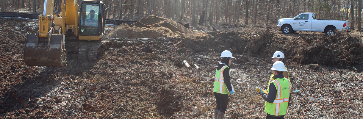
 Innovative
engineering
to overcome project challenges
Meco Drive Case Study
Innovative
engineering
to overcome project challenges
Meco Drive Case Study
-
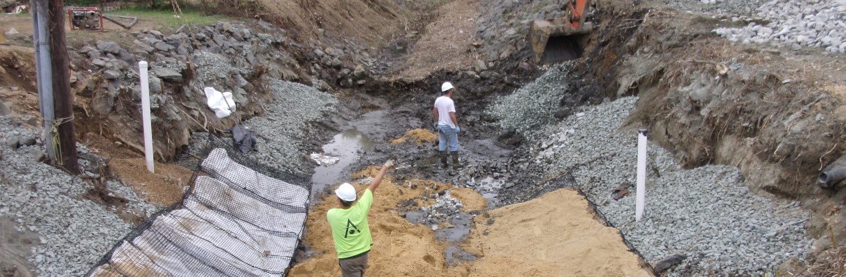
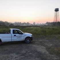
 Turnkey Remediation
technologies focused on
Turnkey Remediation
technologies focused on
a sustainable environment Remediation system Case Study -
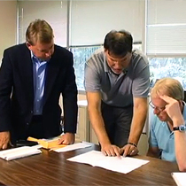
 A seasoned team of
environmental professionals
focused on exceeding client expectations
Our Team
A seasoned team of
environmental professionals
focused on exceeding client expectations
Our Team


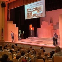
Welcome to Environmental Alliance, Inc.
Environmental Alliance, Inc., (Alliance) is a full-service environmental engineering and consulting firm, incorporated in Delaware in 1991. Our philosophy is simple: make the world a better place every day. Here at Environmental Alliance, Inc., (Alliance), we work to fulfill that philosophy through the nature of our business and through our commitment to high-quality, responsive, and cost-effective environmental services to our public and private sector clients.
Alliance offers comprehensive environmental solutions to the real estate market, brownfield developers, oil and gas industry, and all industries in the environmental remediation market. These solutions include: environmental due diligence and HAZMAT surveys (including lead-based paint and asbestos containing material assessments), acquisition and divestment consultation, regulatory compliance support, environmental site assessments, remedial investigations, human health risk assessments, site plans and permitting, stormwater and wastewater engineering, AST/UST closure, remediation system design, installation, operation and maintenance, as well as, environmental field monitoring and sampling services, including PFAS testing.
Since our inception in 1991, Alliance has grown from a small business to an award-winning company with offices in Wilmington, Delaware; Edison, New Jersey; Glen Burnie, Maryland and Richmond, Virginia, providing environmental services throughout the Mid-Atlantic Region. Alliance has completed hundreds of environmental assessment and remediation projects. Alliance has assembled a team that consists of Professional Engineers (chemical engineers and environmental engineers) and Geologists, Hydrogeologists, Environmental Scientists, Risk Assessors, Statisticians, Data Analysts, GIS specialists and other technical staff, as well as relationships with environmental laboratories and other local specialists to add to and enhance our professional environmental services. With our expertise in environmental remediation, engineering, and consulting, Alliance is equipped to handle even the most complicated environmental problems.
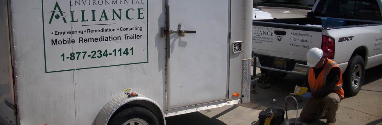
Remediation
Alliance has been providing quality, turnkey remediation services for over 30 years. Our state-of-the-art solutions have been utilized by local customers and national clients... Learn More
Engineering
From talented engineers to detail oriented geologists and remediation crews, our team will guide your project from conceptual design through to the operation of your selected solution... Learn More
Consulting
It’s our aim to convert our experience into sound counsel with issues such as risk and liability evaluation, regulatory compliance and project management... Learn More